- On trail 11.4 mi 18.3 km
- Walking time 5–6 h
- Ascent 580 m 1,900 ft
- Descent 620 m 2,050 ft
- Difficulty Hard
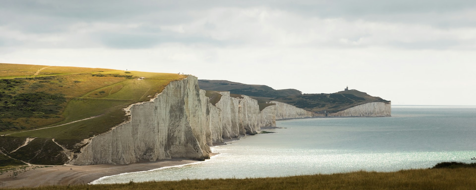
The Seven Sisters and Beachy Head, on the footpath, not the bridleway.
Section 9: Alfriston to Eastbourne map
Example stay South Downs Way Finish
Cross-check: National Trails route description . Opened 25 October 2026. The distance at the top of this page is measured between these ends. The route page's miles stay in the answers below.
The walk
Walkers take the footpath along the Cuckmere and over the Seven Sisters. Horses and cyclists must use the Jevington bridleway instead. Between Cuckmere Haven and Beachy Head the edge is unprotected and undercut. Stay off it. Birling Gap has a cafe. Beachy Head, Britain's highest chalk cliff, is the last climb, then the promenade at Eastbourne.
-
Start of section
Alfriston
-
The Seven Sisters
The footpath follows the Cuckmere south, through Friston Forest and the country park, then rises and falls along the cliff. This is the walkers' line. The bridleway by Jevington is the other one.
-
Birling Gap
A cafe and a shop, and one of the few ways down to the beach. East of it, Belle Tout lighthouse was moved back from the edge on rollers. The cliff is still working.
-
Stay off the edge
Beachy Head
Britain's highest chalk cliff, and the last climb. The edge between here and Cuckmere Haven is unprotected and undercut. Then it is downhill to the promenade at Eastbourne.
-
Official finish
Eastbourne
Section 9: Alfriston to Eastbourne overview
The ground
- Seven Sisters
- Unprotected edge
- Beachy Head
Steep chalk cliffs. The edge is unprotected, and the path rises and falls. The crest over Firle Beacon was the section you just walked, inland and open. This one is the sea. The Jevington bridleway is the other official line, and it is not this path.
Stops
Refreshments
- Alfriston at the start. Birling Gap has a cafe and a shop
- and a way down to the beach. Eastbourne is the promenade at the end
Toilets
- The route page does not name a public toilet on this section
Before you go
Opposite direction
Eastbourne to Alfriston
You leave the promenade and climb Beachy Head first, so the cliff is the morning. Belle Tout and Birling Gap come next. The Seven Sisters then run west toward the Cuckmere, still steep and still unprotected. Alfriston is the village after the river.
End of section
Alfriston
Alfriston to Eastbourne FAQ
How long is Alfriston to Eastbourne?
The route page lists 10.5 miles (16.9 km) for the Seven Sisters footpath. The Jevington bridleway is 8.5 miles (13.7 km), and it is a different line. The distance at the top of this page is measured on the footpath.
Which finish should I walk?
The footpath, over the Seven Sisters, if you are walking. Horses and cyclists have to use Jevington. Stay off the cliff edge. On the 8-day this is the last morning, after a night in Alfriston. On the 5-day it is the end of the long day that started at Housedean.
Can I download a GPX for Alfriston to Eastbourne?
Yes. Use the GPX button at the top of this page. It is this section's line, for Garmin, Komoot, or your phone. Open the planner if you want a file built around your overnight stops.
Walk this as a day
The cliffs are Day 8 of the 8-day, their own morning after Alfriston. Open the planner on that preset, then export a full-trip or per-day GPX.
Open in planner Read the 8-day itinerary
Full-trip and per-day GPX files. Free, no account.
Explore


