- On trail 10.0 mi 16.1 km
- Walking time 4–5 h
- Ascent 370 m 1,200 ft
- Descent 340 m 1,100 ft
- Difficulty Moderate
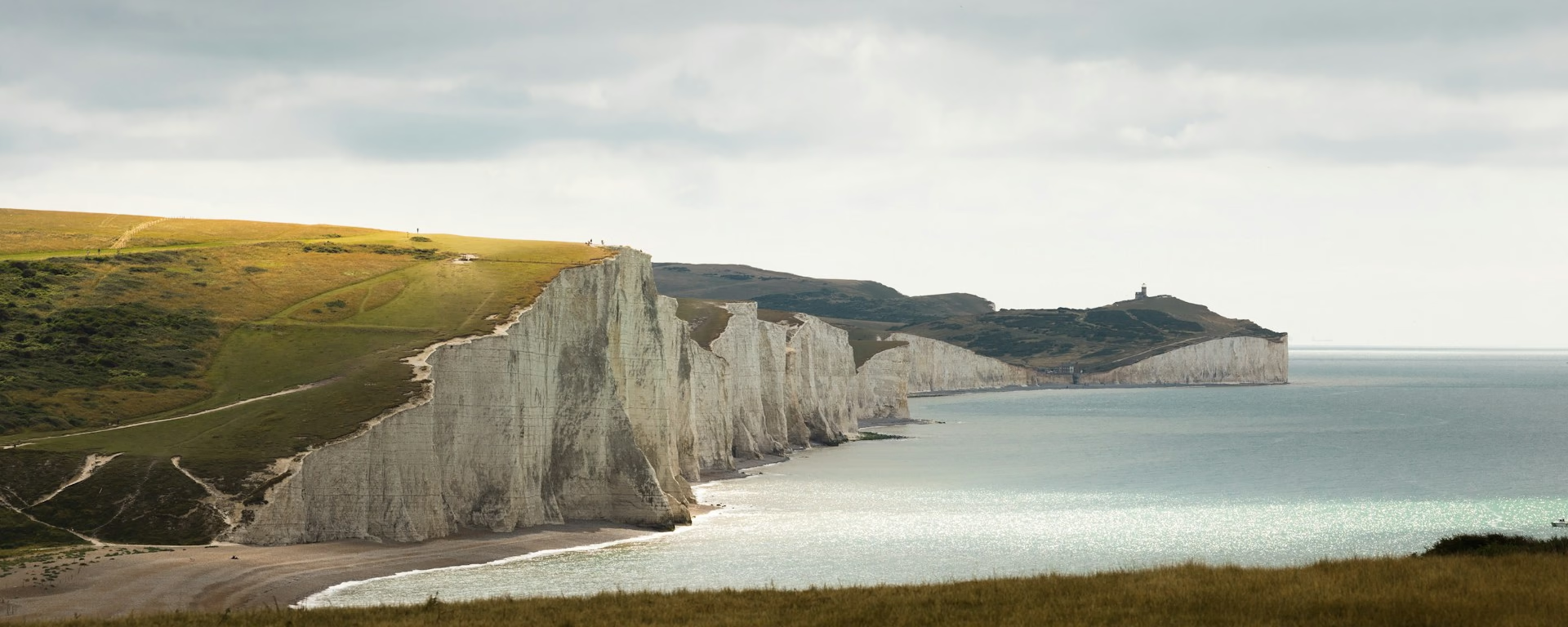
Harting Down and the Devil's Jumps, then the drop toward Cocking.
Section 4: Buriton to Cocking Hill map
Cross-check: National Trails route description . Opened 25 October 2026. The distance at the top of this page is measured between these ends. The route page's miles stay in the answers below.
The walk
From Buriton the ridge runs on, the Weald to the north and the Channel to the south. Harting Down is a dry chalk valley, and South Harting, off the path, is the place for lunch. The Devil's Jumps are the burial mounds before the path descends to Cocking Hill. The village, and the night, are the drop below the hill.
-
Start of section
Buriton
-
Harting Down
Dry chalk valleys, and the feeling of being well off the roads. South Harting is the link for lunch, a shop, and the bus toward Chichester. It is not the night.
-
The Devil's Jumps
Bronze Age burial mounds beside the path. A large chalk ball, one of Andrew Goldsworthy's sculptures, is passed before the descent to Cocking Hill.
-
Not the night
Cocking Hill
The section ends on the hill. Cocking is the village below, and that is the night on every plan. Book it. A taxi to Midhurst is the fallback when the village is full.
-
End of section
Cocking Hill
Section 4: Buriton to Cocking Hill overview
The ground
- Ridge
- Dry valleys
- Burial mounds
A ridge walk. Dry valleys, burial mounds, then the descent above Cocking. Butser Hill was the high point, on the section you have just left. After Cocking Hill the path enters the most wooded stretch, on the way to Amberley.
Stops
Refreshments
- Buriton at the start. South Harting
- off the path
- for lunch. Cocking
- below the hill
- at the end
Toilets
- The route page does not name a public toilet on this section
Before you go
Opposite direction
Cocking Hill to Buriton
You climb from Cocking Hill onto the ridge. The Devil's Jumps come before Harting Down, and South Harting is still the lunch off the path. Buriton is the drop at the end, down through the chalk pits.
End of section
Buriton
Buriton to Cocking Hill FAQ
How long is Buriton to Cocking Hill?
The route page lists 10 miles (16.1 km). The distance at the top of this page is measured between these ends.
Where do I sleep at Cocking Hill?
In Cocking, not on the hill. The drop into the village is short, and every plan uses it as a night. Beds are few. Book them. When the village is full, the night may be a taxi to Midhurst.
Can I download a GPX for Buriton to Cocking Hill?
Yes. Use the GPX button at the top of this page. It is this section's line, for Garmin, Komoot, or your phone. Open the planner if you want a file built around your overnight stops.
Walk this as a day
Cocking, below the hill, is the night on Day 3 of the 8-day. Open the planner on that preset, then export a full-trip or per-day GPX.
Open in planner Read the 8-day itinerary
Full-trip and per-day GPX files. Free, no account.
Explore


