- On trail 7.0 mi 11.3 km
- Walking time 3–4 h
- Ascent 260 m 850 ft
- Descent 180 m 600 ft
- Difficulty Moderate
Seals in the Ouse, then the open crest over Firle Beacon.
Section 8: River Ouse to Alfriston map
Example stay The Alfriston Hotel (opens in a new tab)
Cross-check: National Trails route description . Opened 25 October 2026. The distance at the top of this page is measured between these ends. The route page's miles stay in the answers below.
The walk
This is the open section. Look for seals in the river before the climb up Itford Hill. From there to Alfriston there is barely a tree, and Firle Beacon is where paragliders launch. Alfriston is the night on most plans, so the cliffs stay for the morning. The 5-day eats here and continues.
-
Start of section
River Ouse
-
Itford Hill
The climb off the river. Look for seals before you start up. A youth hostel and a cafe sit at Itford, just beyond the Ouse, and these plans do not stop there.
-
Firle Beacon
The open top, with barely a tree between the river and Alfriston. Paragliders launch here. Charleston, the Bloomsbury house, is a detour off the scarp, not the line.
-
The night
Alfriston
The village is the end of the open ground. Most plans sleep here so the cliffs have a morning of their own. The 5-day eats here and walks on.
-
End of section
Alfriston
Section 8: River Ouse to Alfriston overview
The ground
- Open crest
- Firle Beacon
- No shelter
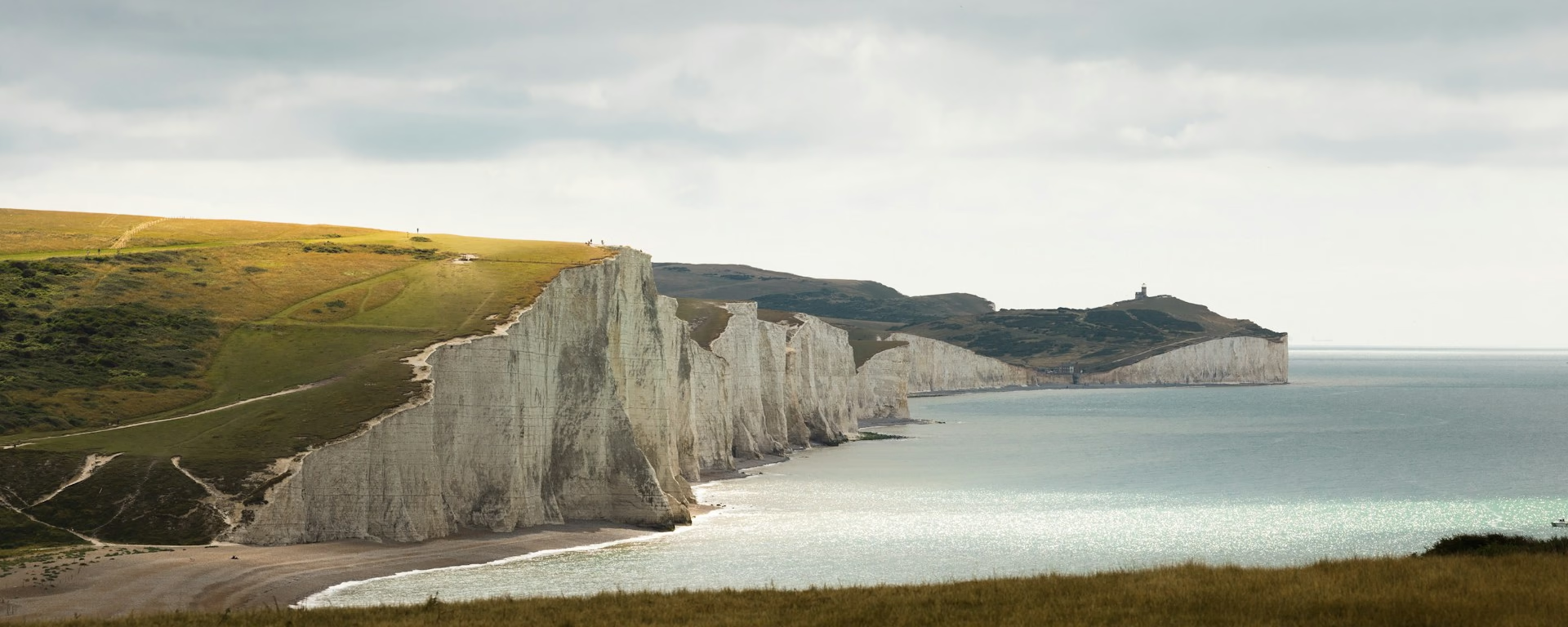
The open crest. The work is the lack of shelter, not a cliff. The busy hills above Brighton were the section you just left. The cliffs start after Alfriston, unless you are on the 5-day and they are still today.
Stops
Refreshments
- Nothing on the crest. Carry water. Alfriston
- at the end
- is where you eat
Toilets
- The route page does not name a public toilet on this section
Before you go
Opposite direction
Alfriston to River Ouse
Firle Beacon is the climb out of Alfriston, and the open crest is the morning. You drop toward the Ouse. Look for seals before Itford. The river is the finish of this section.
End of section
River Ouse
River Ouse to Alfriston FAQ
How long is the River Ouse to Alfriston?
The route page lists 7 miles (11.3 km). The distance at the top of this page is measured between these ends.
Should I stay in Alfriston?
On the 6-day through the 10-day, yes. Book the village and leave the Seven Sisters for the next morning. The 5-day walks through at lunch. On that plan the cliffs are still part of the same day.
Can I download a GPX for River Ouse to Alfriston?
Yes. Use the GPX button at the top of this page. It is this section's line, for Garmin, Komoot, or your phone. Open the planner if you want a file built around your overnight stops.
Walk this as a day
Alfriston is the night at the end of Day 7 on the 8-day. The cliffs are the next morning. Open the planner on that preset, then export a full-trip or per-day GPX.
Open in planner Read the 8-day itinerary
Full-trip and per-day GPX files. Free, no account.
Explore


