- Direction Bowness-on-Solway to Wallsend , Swap direction
- Distance 83.9 mi 135 km
- Duration 5–10 days
- Ascent 1,920 m 6,300 ft
- Descent 1,920 m 6,300 ft
- Difficulty Moderate
What is Hadrian's Wall Path in reverse?
From the salt marshes of the Solway to the Roman fort at Wallsend on the Tyne. Walked west to east, Hadrian's Wall Path runs 84 miles (135 km) from Bowness-on-Solway to Segedunum, six or seven days with the standing Wall rising out of the fields in the middle.
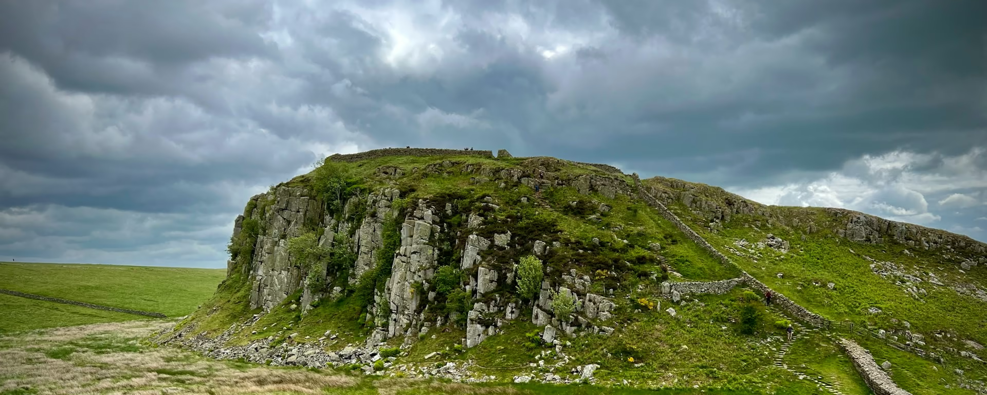
The first days are quiet and flat: salt marsh and lanes to Carlisle, then the Eden and farmland to Hare Hill, where the standing Wall begins. On the Whin Sill it climbs and drops along the crags past Housesteads, then the path comes down to the Military Road fields. The Tyne leads you under its bridges to finish at Segedunum.
Which way should I walk?
For wind and rain at your back, start in Bowness. The prevailing weather follows you along the Wall all week and the afternoon sun is behind you, which makes it the direction for the weather. Most walkers still go east to west, the way the Wall was built, out of the city to finish on the quiet Solway.
Starting in Bowness, you begin quietly on the marshes, reach the crags mid-walk and finish a short Metro ride from Newcastle's trains. You give up the walk out into open country, and the last day is riverside and city pavement. The path is not quieter either: you meet walkers heading west face to face all day.
Who it suits: walkers who would rather keep the wind and rain behind them, anyone heading home by train from Newcastle, and walkers who know the default way and want it fresh. Think twice if finishing in open country matters to you, or if the bus and the tide would make day one a worry.
Hadrian's Wall Path route map
How hard is it in reverse?
We rate it moderate, with the work all on the crags of the Whin Sill. The highest point is Windshields Crags, 1,131 ft (345 m), and over the week the climbing comes out almost even in either direction.
On the five-day plan, the long day from Gilsland crosses the crags in its first two-thirds. The descent and the fields to Chollerford come last. On every plan the riverside miles into Wallsend are the last day, so save something for the pavement.
Itineraries and official sections
Pick a day count and the 5–10 day splits show where you would sleep each night, or read the route as the official town-to-town sections.
When is the best time to walk it?
- January, winter
- February, winter
- March, winter
- April, good
- May, best
- June, best
- July, fair
- August, fair
- September, best
- October, good
- November, winter
- December, winter
Best months: May, June, and September
May, June and September suit a first walk, inside the drier May to October window, and the south-westerly weather follows you in any of them.
High summer is the busy time, when beds near the Wall fill first. The morning sun is low and ahead as you set off, and by the afternoon it is behind you, out of your eyes.
Out of season the path is quiet, and you carry your own pack once bag transfer stops in the autumn. Short days and a low morning sun ahead make an early finish the safer plan.
Rain days each month:
- January, 14 rain days
- February, 12 rain days
- March, 11 rain days
- April, 11 rain days
- May, 10 rain days
- June, 11 rain days
- July, 12 rain days
- August, 12 rain days
- September, 11 rain days
- October, 14 rain days
- November, 15 rain days
- December, 14 rain days
Driest: May — still 10 rain days.
Northern England averages, 1991 to 2020. This is the record, not a forecast for the Wall.
How do I get there and back?
Start at the path's western end (on Google Maps, opens in a new tab) in Bowness-on-Solway, which has no railway and no car park. Take a train to Carlisle station (on Google Maps, opens in a new tab), then the bus out to the village. It does not run every day, and only a few times when it does. Check the times, or plan a night in Bowness before you start.
Finish at Segedunum (on Google Maps, opens in a new tab), the Roman fort in Wallsend. A short walk and a Metro ride take you to Newcastle station (on Google Maps, opens in a new tab) and its inter-city trains. You can be on your way home the same afternoon.
If you drive, leave the car in Newcastle or Wallsend and take the train out to Carlisle. There is a car park at Segedunum, but check before you leave a car there for a week.
Frequently asked questions
The walk
How long does Hadrian's Wall Path take west to east?
The same as the default way: most walkers take six or seven days. Every plan here, from five days to ten, runs from Bowness with the same nights, ending at Segedunum in Wallsend. Seven days suits a first full walk.
Does the tide matter at the start?
Yes. The path can flood between Bowness and Port Carlisle, your first stretch, and between Drumburgh and Dykesfield later that morning. Check the tide times before you set off, and plan the first day around them.
Is it easier walking west to east?
About the same climb either way. Starting in Bowness, the prevailing wind and rain are behind you, and the paved riverside miles come last.
Getting set
Do I need to book accommodation in advance?
Yes, above all for July and August, and a weekend start is harder to book. Starting in Bowness, you reach the busy middle villages on different nights from most walkers, which can help. The planner shows which nights your plan uses.
Can I get my bag moved walking west to east?
Starting in Bowness, yes: bags move from spring to autumn. Check which stays the service reaches before you book your beds, as one cannot reach hotels south of the Tyne.
This site & app
Can I download a GPX of the walk west to east?
Yes. The GPX button at the top of this page gives the whole trail from Bowness-on-Solway to Wallsend. Open a plan to export the whole trip, or one file per day, in walking order.
Trail Britain is an independent planner. For notices and route changes, use the trail's own site: Hadrian's Wall Path on National Trails (opens in a new tab).
Plan your Hadrian's Wall Path
Choose your dates and pace, starting in Bowness-on-Solway, adjust overnight stops on the map, then export GPX files built around your route.
Explore