- On trail 12.6 mi 20.4 km
- Walking time 5–6 h
- Ascent 490 m 1,600 ft
- Descent 440 m 1,450 ft
- Difficulty Moderate
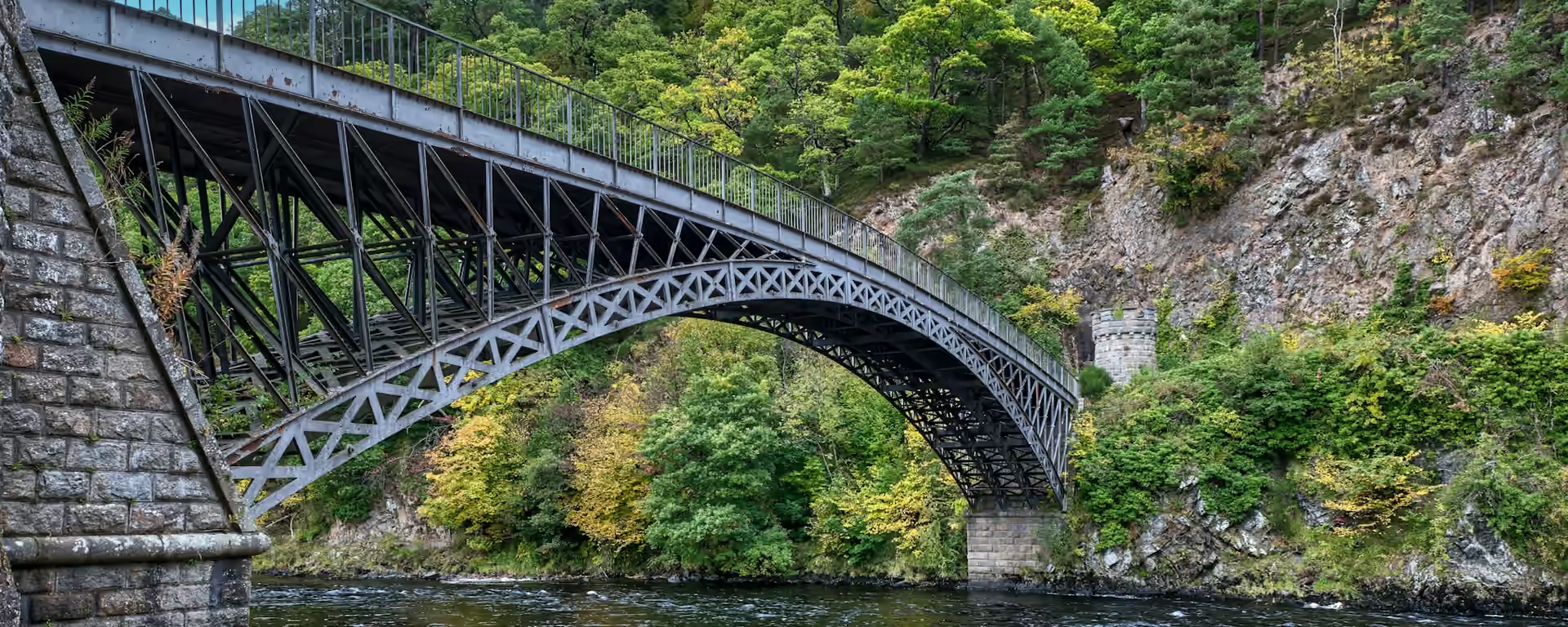
Quiet lanes, the first climb, and Telford's iron bridge at the end.
Section 2: Fochabers to Craigellachie map
Example stay The Craigellachie Hotel (opens in a new tab)
Cross-check: Speyside Way route sections . Opened 5 November 2026. The official page gives each section's published miles, which the FAQ uses. The distance at the top of this page is measured along the trail between these towns. A walk off the path to a bed is extra.
The walk
The first climb on the Speyside Way: Ben Aigan, halfway through the day. The morning is quiet road beside the river, quick going but hard on the feet, with a short detour to the Earth Pillars high over the Spey. Ben Aigan's forest track then climbs steadily, and the valley opens north below you. The beech woods of Arndilly are a soft way down to Craigellachie.
-
Start of section
Fochabers
-
Detour
Earth Pillars
A short detour off the road to a viewpoint high over the Spey, where the river cuts through soft red banks.
-
The climb
Ben Aigan
A steady forest track round the shoulder of the hill, with the first long view back down the Spey valley toward the sea.
-
The finish
Telford bridge
Thomas Telford's single iron arch over the Spey carries a plaque dated 1814. It is the oldest wide-span cast-iron bridge in Scotland.
-
End of section
Craigellachie
Section 2: Fochabers to Craigellachie overview
The ground
- Minor road
- Forest track
- Beech woods
Minor road, then a steady forest climb and a woodland descent. The only real climb of the first three days. The forest above the river between Ballindalloch and Grantown is slower.
Stops
Refreshments
- Fochabers
- Craigellachie (nothing between)
Toilets
- The official route page names no public toilet on this section
Before you go
Opposite direction
Craigellachie to Fochabers
Heading north, Ben Aigan is the morning's climb, out of Craigellachie through the beech woods. The road miles after Boat o' Brig are flat and hard underfoot all the way to Fochabers.
End of section
Fochabers
Fochabers to Craigellachie FAQ
How long is Fochabers to Craigellachie?
It is 12.7 miles (20.4 km). The first half is flat road and the second has the climb round Ben Aigan.
Is there anywhere to eat on the way?
No. There is no shop or café between Fochabers and Craigellachie, so buy lunch before you set off.
How hard is the climb round Ben Aigan?
Moderate. It is a steady pull on a forest track rather than a steep path, and the views north are the reward.
Walk this as a day
Used as Day 2 on the 7-day. Open the planner on that preset, then export a full-trip or per-day GPX.
Open in planner Read the 7-day itinerary
Full-trip and per-day GPX files. Free, no account.
Explore


