- On trail 11.9 mi 19.1 km
- Walking time 5–6 h
- Ascent 190 m 600 ft
- Descent 140 m 450 ft
- Difficulty Easy
The old whisky railway, level and quiet, through the heart of distillery country.
Section 3: Craigellachie to Ballindalloch map
Example stay Cragganmore Lodge (opens in a new tab)
Cross-check: Speyside Way route sections . Opened 5 November 2026. The official page gives each section's published miles, which the FAQ uses. The distance at the top of this page is measured along the trail between these towns. A walk off the path to a bed is extra.
The walk
The easiest walking on the Speyside Way: the bed of the old Strathspey railway, which carried passengers until 1965. The trackbed is firm and almost level, with the river close below. Aberlour comes early, with cafés and a distillery. The line crosses the Spey at Bridge of Carron and comes back over it on the Ballindalloch Viaduct, built in 1863.
-
Start of section
Craigellachie
-
Lunch
Aberlour
The biggest village on this stretch, about 2 mi (3 km) in, with cafés, shops and a distillery beside the path.
-
Speyside Cooperage
Coopers still build and mend whisky casks here, near the start of the section at Craigellachie.
-
The finish
Ballindalloch Viaduct
The railway's iron viaduct of 1863 carries the path back over the Spey to the old station at Ballindalloch.
-
End of section
Ballindalloch
Section 3: Craigellachie to Ballindalloch overview
The ground
- Old railway
- Riverside
- Level
Level old railway trackbed from end to end. The flattest section of the Way, and a good day to slow down. The next section, to Grantown, is the hardest.
Stops
Refreshments
- Craigellachie
- Aberlour
- Ballindalloch (filling station shop on the A95
- off the path)
Toilets
- Ballindalloch Station
Before you go
Opposite direction
Ballindalloch to Craigellachie
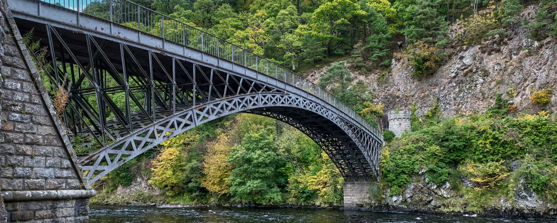
Walking north the trackbed is just as level, and Aberlour comes near the end, so carry food. Telford's bridge marks the arrival in Craigellachie.
End of section
Craigellachie
Craigellachie to Ballindalloch FAQ
How long is Craigellachie to Ballindalloch?
It is 12.2 miles (19.6 km), almost all of it level railway trackbed.
Where do I stay at Ballindalloch?
Beds are few: a lodge and a B&B near the old station, and a hotel about a mile away. Book them before anything else on the walk.
Is this section suitable for a rest day pace?
Yes. It is the easiest section of the Way, and Aberlour early on is a good place for a long stop.
Walk this as a day
Used as Day 3 on the 7-day. Open the planner on that preset, then export a full-trip or per-day GPX.
Open in planner Read the 7-day itinerary
Full-trip and per-day GPX files. Free, no account.
Explore


