- On trail 14.7 mi 23.7 km
- Walking time 6–7 h
- Ascent 550 m 1,800 ft
- Descent 470 m 1,550 ft
- Difficulty Moderate
The hard day: high forest above the Spey, then down to Cromdale and Grantown's square.
Section 4: Ballindalloch to Grantown-on-Spey map
Example stay Grant Arms Hotel (opens in a new tab)
Cross-check: Speyside Way route sections . Opened 5 November 2026. The official page gives each section's published miles, which the FAQ uses. The distance at the top of this page is measured along the trail between these towns. A walk off the path to a bed is extra.
The walk
The toughest section of the Speyside Way: after a mile of old railway, the path climbs away from the river. For about 9 miles (14.5 km) it rises and falls through forest and farmland, with the Spey glinting far below between the trees. Boardwalks cross the wettest ground, and the chain gates come one after another. At Cromdale the path drops to cross the river, and the pines of Anagach Woods lead into Grantown.
-
Start of section
Ballindalloch
-
Woods of Knockfrink
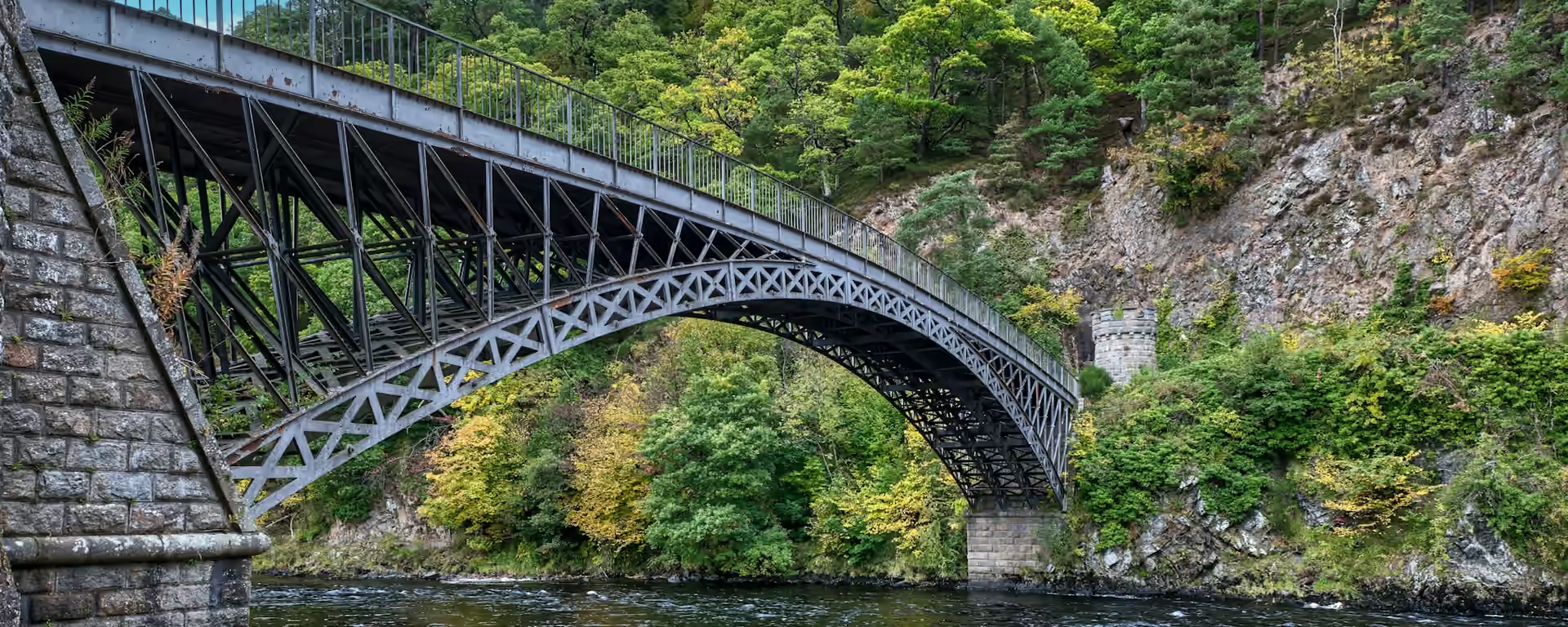
The path stays high in the forest here, with glimpses of the Spey far below between the trees.
-
The river crossing
Cromdale
On the haughs by the river, government dragoons rode out of the mist onto a sleeping Jacobite camp at dawn on 1 May 1690 and routed it.
-
The finish
Grantown-on-Spey
Sir James Grant laid out the town around its square in the 1760s, and the street plan has barely changed since.
-
End of section
Grantown-on-Spey
Section 4: Ballindalloch to Grantown-on-Spey overview
The ground
- Forest path
- Chain gates
- Wet ground
Undulating forest and farmland path, with short steep sections and many gates. The slowest section on the main line, mile for mile. Grantown to Aviemore is further but far quicker underfoot.
Stops
Refreshments
- Ballindalloch (filling station shop
- off the path)
- Cromdale (hotel)
- Grantown-on-Spey
Toilets
- Ballindalloch Station
Before you go
Opposite direction
Grantown-on-Spey to Ballindalloch
Heading north, Anagach Woods are an easy start out of Grantown. After Cromdale the forest climbs and stays high, with the gates and wet patches all in the second half.
End of section
Ballindalloch
Ballindalloch to Grantown-on-Spey FAQ
How long is Ballindalloch to Grantown-on-Spey?
It is 13.7 miles (22.1 km). Allow more time than that suggests, because the gates and wet ground slow you down.
Is this the hardest part of the Speyside Way?
Yes, on the main line. It is undulating with short steep sections, and most of it is in forest above the river rather than on the valley floor.
Where can I eat on this section?
Almost nowhere. Bring food and water from Ballindalloch. Cromdale, near the end, has a hotel, and Grantown has plenty.
Walk this as a day
Used as Day 4 on the 7-day. Open the planner on that preset, then export a full-trip or per-day GPX.
Open in planner Read the 7-day itinerary
Full-trip and per-day GPX files. Free, no account.
Explore


