- Direction Inverness to Fort William , Swap direction
- Distance 74.6 mi 120 km
- Duration 3–6 days
- Ascent 2,320 m 7,600 ft
- Descent 2,330 m 7,650 ft
- Difficulty Moderate
What is the Great Glen Way in reverse?
From Inverness Castle, in "the capital of the Highlands", to the foot of Britain's highest mountain. Walked north to south, the Great Glen Way follows the fault line down the glen for 75 miles (120 km), from Inverness to Fort William. The hills above Loch Ness come at the start, Telford's canal at the end.
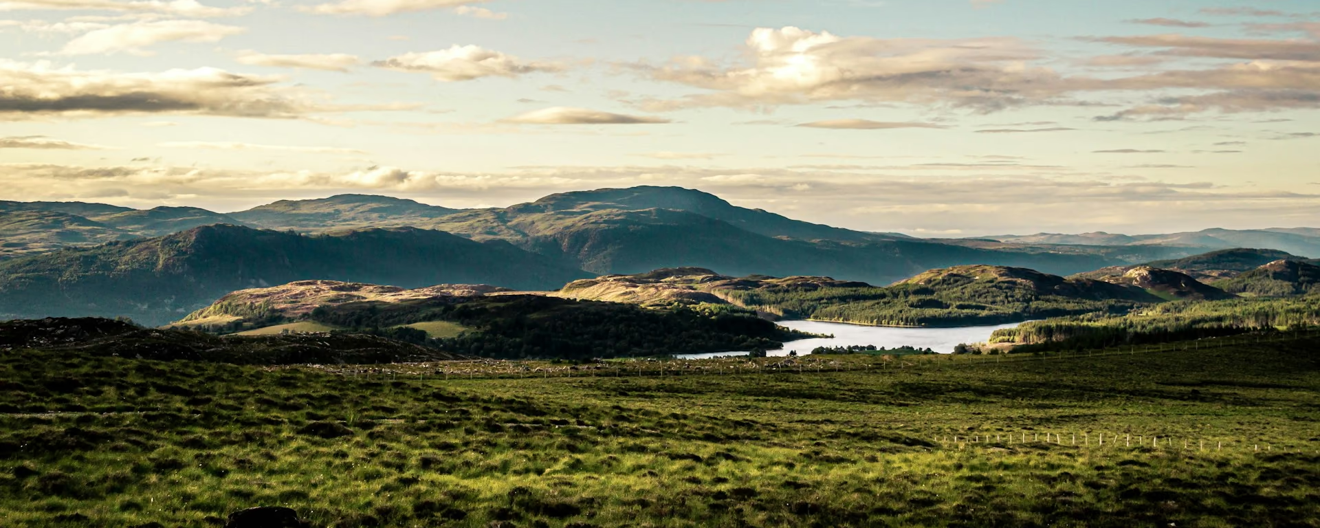
The hills come first: out of the city along the River Ness, a long climb leads onto the moor and the Abriachan woods. Then the path runs high above Loch Ness to Invermoriston. Over one more hill, Fort Augustus sits at the head of the loch with its locks. From there the old railway by Loch Oich and the tracks along Loch Lochy are gentle going.
The last day follows the canal down Neptune's Staircase, "the longest flight of locks on the canal", toward Ben Nevis. It finishes in Fort William, where the West Highland Way also ends. Allow four to seven days, with a bed in a village or by the canal each night, the same nights as the default way.
Which way should I walk?
For a first long walk, Fort William to Inverness is the better way, with the prevailing wind behind you and the easy towpath first. Starting in Inverness, every day heads south-west, straight into that wind, and the weather comes up the glen to meet you. In spring and autumn the low afternoon sun is in your eyes too.
Starting in Inverness, you take the hills above Loch Ness while you are fresh and finish on the flat, down the canal toward Ben Nevis. One bag service lists this way as its own route. You give up the gentle start and the finish at Inverness Castle. Day one is the long walk to Drumnadrochit, about 19 miles (30 km).
Who it suits: walkers arriving in Inverness, and fit walkers who would rather do the hills first. It also suits anyone going on to the West Highland Way from Fort William. Think twice on a first long walk, since day one has no warm-up, or if a week of wind in your face would spoil it.
Great Glen Way route map
How hard is it in reverse?
We rate it moderate either way: low ground for most of its length, and the same total climb from either end. The highest point is 434 m (1,424 ft), on the high route in the Abriachan woods, late on the first day. The big climbs all lie between Inverness and Fort Augustus, so they come in the first half.
The hard days come first: on every plan, day one is Inverness to Drumnadrochit, about 19 miles (30 km), with no towpath to warm up on. It ends on the steep path down from Craig Nay and a mile beside the busy A82. On the 4- to 6-day, day two ends with another steep drop, into Invermoriston, hard on tired knees.
The plan changes the shape: on the 4- and 5-day, the climb out of Invermoriston is a morning. Lunch is in Fort Augustus, and the afternoon is flat. On the 4-day the longest day, about 22 miles (36 km) on the flat, comes last and into the wind. On a first long walk, start in Fort William instead.
Itineraries and official sections
Pick a day count and the 3–6 day splits show where you would sleep each night, or read the route as the official town-to-town sections.
When is the best time to walk it?
- January, winter
- February, winter
- March, winter
- April, best
- May, best
- June, fair
- July, fair
- August, fair
- September, good
- October, good
- November, winter
- December, winter
Best months: April and May
The months match the default way, so its page has the midges and the busy weeks. What changes is the wind: it blows straight up the glen, so starting in Inverness you walk into it every day. Pack a windproof as well as waterproofs.
One bag service runs this way, over the same season as the default way, so check your dates when you book. Spean Bridge and South Laggan, the thin nights, come near the end of your walk this way, so book those beds first.
In April, September and October, the low afternoon sun is straight ahead on the long days, so pack sunglasses. The weather comes in from the Atlantic, and walking from Inverness you head from the drier end of the glen toward the wetter west.
Rain days each month:
- January, 20 rain days
- February, 18 rain days
- March, 18 rain days
- April, 15 rain days
- May, 15 rain days
- June, 14 rain days
- July, 16 rain days
- August, 16 rain days
- September, 16 rain days
- October, 20 rain days
- November, 20 rain days
- December, 20 rain days
Driest: June — still 14 rain days.
Northern Scotland averages, 1991 to 2020. The glen from Fort William to Inverness sits in this district. This is the record, not a forecast.
How do I get there and back?
Start at Inverness Castle (on Google Maps, opens in a new tab), a short walk from Inverness station (on Google Maps, opens in a new tab). Trains come from Edinburgh, Glasgow and Aberdeen, buses from Glasgow and Edinburgh, and the city has an airport. Sleep in Inverness the night before: day one is long, with a steep end, and too much to start off a long journey.
Finish at the Old Fort (on Google Maps, opens in a new tab) in Fort William, a couple of minutes from Fort William station (on Google Maps, opens in a new tab). Trains take about four hours to Glasgow, and coaches run to Glasgow and Edinburgh.
If you drive, leave the car in Inverness, at the Rose Street multi-storey behind the bus station, and ask the car park supervisor about a long stay. There is no train between the two ends. The bus up the glen takes a little over two hours and stops beside the car park. Check times before you travel.
Frequently asked questions
The walk
How long does the Great Glen Way take north to south?
As long as the default way: four to seven days, and our plans run from 3 to 6 walking days. Every plan starts at Inverness Castle with the same nights in reverse and ends at the Old Fort in Fort William. Travel and rest days are extra.
Where do I buy food for the first day?
In Inverness. There is no shop between the city and Drumnadrochit, only the café at Abriachan's campsite, about two-thirds of the way, and its opening is worth checking. Walkers find very little water to fill up from on the moor, so carry enough for the whole day.
Can I split the first day out of Inverness?
Yes, but beds are few. Abriachan, about two-thirds of the way, has a small amount of accommodation. Or sleep two nights in Drumnadrochit and take a taxi between the village and Abriachan, walking the day in two halves. Our plans walk it in one go.
Is there a guidebook written for this direction?
Yes. One of the main guidebooks describes the route both ways. Most others are written from Fort William, so expect to read their directions backwards on the hill days above Loch Ness.
Getting set
Do I need to book accommodation in advance?
Yes. Spean Bridge and South Laggan have the fewest beds, and starting in Inverness they are among your last nights, so book them first. You reach them on different nights from walkers heading for Inverness who set off the same week.
Can I get my bag moved starting in Inverness?
Yes. One bag service lists Inverness to Fort William as its own route, at the same price as the default way, from about spring to autumn. The other runs toward Inverness only. Bags go out earlier in the morning this way. Book your beds before the bag.
This site & app
Can I download a GPX of the walk north to south?
Yes. The GPX button at the top of this page gives the whole trail from Inverness to Fort William, with the route options above Loch Ness noted where you meet them. Open a plan to export the whole trip, or one file per day, in walking order.
Trail Britain is an independent planner. For notices and route changes, use the trail's own site: Great Glen Way routes (opens in a new tab).
Plan your Great Glen Way
Choose your dates and pace, starting in Inverness, adjust overnight stops on the map, then export GPX files built around your route.
Explore