- On trail 6.4 mi 10.3 km
- Walking time 3–4 h
- Ascent 710 m 2,350 ft
- Descent 590 m 1,950 ft
- Difficulty Moderate
A short section, and the climb: forest path or the high route.
Section 4: Fort Augustus to Invermoriston map
Example stay Glenmoriston Arms (opens in a new tab)
Cross-check: official stage page . Opened 19 October 2026. The distance at the top of this page is measured between these ends. The climb comes from the track file, which runs higher than the published totals for the glen.
The walk
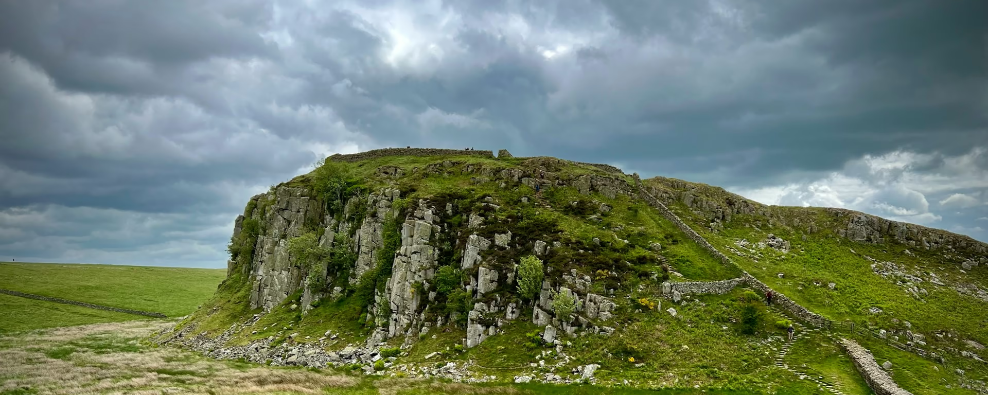
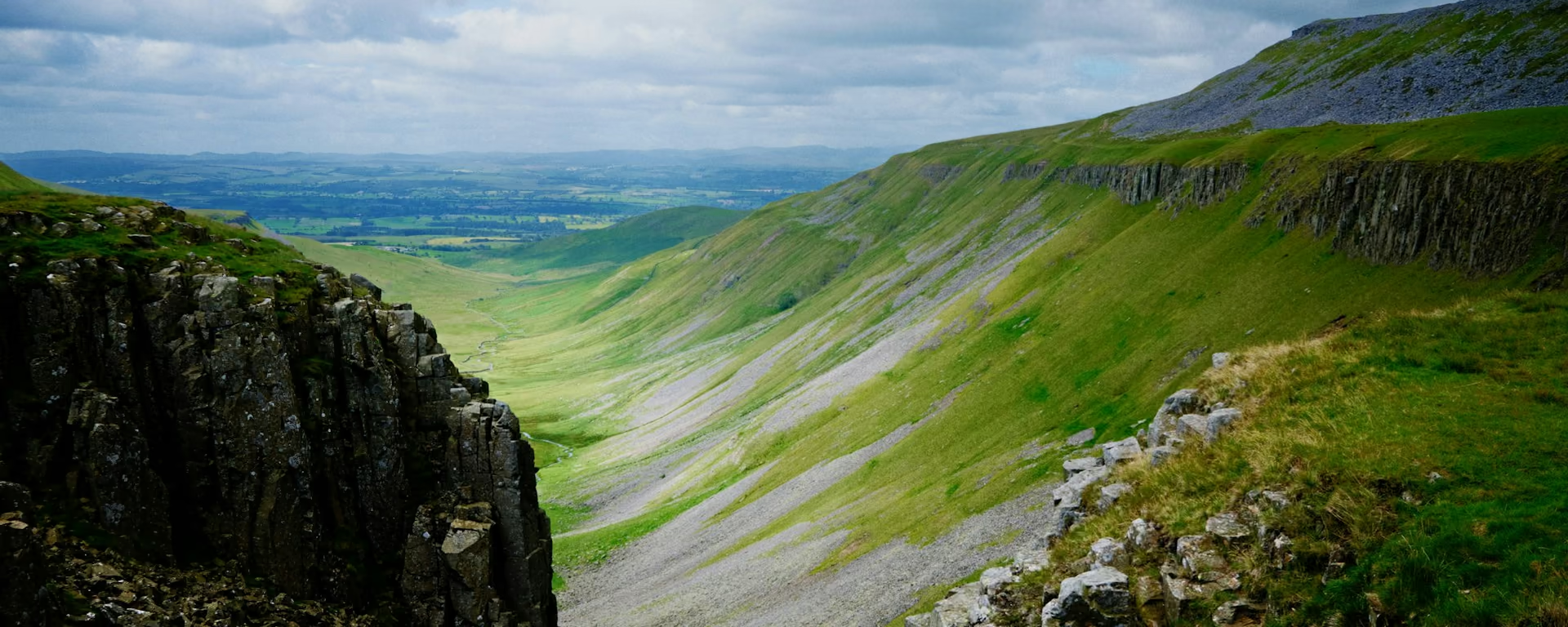
Short on the map, and the climb is the point of it. Above Fort Augustus you choose. The low route stays in the forest. The high route climbs steeply, with views over Loch Ness. Both come down into Invermoriston. On the 6-day this is its own morning, on fresh legs. On the 5-day and the 4-day it is the end of a day that already walked Loch Oich.
-
Start of section
Fort Augustus
-
The choice above the village
Low route through the forest, or a steep climb onto the high route. The high route is the one with the views over Loch Ness. Either way you drop to Invermoriston.
-
Why the 6-day stops first
The section is short so the climb can be a morning. Walking it at the end of Loch Oich is what the 5-day and the 4-day ask you to do.
-
End of section
Invermoriston
Section 4: Fort Augustus to Invermoriston overview
The ground
- Forest
- High route
- Steep
A short section. Steep if you take the high route, quieter in the forest. The shortest of the six sections, and the one the 6-day keeps alone. Every faster plan sticks it onto the Loch Oich walk, so the climb comes late.
Stops
Refreshments
- Fort Augustus before you leave. Invermoriston is the village at the end
Toilets
- No source used for this section names a public toilet
Before you go
Opposite direction
Invermoriston to Fort Augustus
The high or low route comes first, and the steep pull out of Fort Augustus is a walk down into the village. The locks and the canal are the end of the section.
End of section
Fort Augustus
Fort Augustus to Invermoriston FAQ
How long is Fort Augustus to Invermoriston?
The trail body's distance line says 7.3 miles (11.7 km) on the low route and 7.5 miles (12.2 km) on the high route. The same page also says the high route adds a little over a mile. The distance at the top of this page is our line between the two villages.
Which route should I take?
The low route stays in the forest. The high route is steeper and opens views over Loch Ness. It is remote: take a map and a compass, because a phone is not enough up there.
Walk this as a day
Used as Day 4 on the 6-day. Open the planner on that preset, then export a full-trip or per-day GPX.
Open in planner Read the 6-day itinerary
Full-trip and per-day GPX files. Free, no account.
Explore