- On trail 12.2 mi 19.6 km
- Walking time 5–6 h
- Ascent 620 m 2,050 ft
- Descent 620 m 2,050 ft
- Difficulty Moderate
Forest track beside Loch Lochy, with a diversion in until about 2030.
Section 2: Gairlochy to Laggan Locks map
Cross-check: official stage page . Opened 19 October 2026. The distance at the top of this page is measured between these ends. The climb comes from the track file, which runs higher than the published totals for the glen.
The walk
The canal is behind you. This section is the forest track beside Loch Lochy. A diversion for the Coire Glas hydro scheme is in place until about 2030 and adds 600 m. Laggan Locks is the end of the stage. The night is South Laggan, on the A road beside the locks, with a 60 mph limit and no footpath.
-
Start of section
Gairlochy
-
Loch Lochy
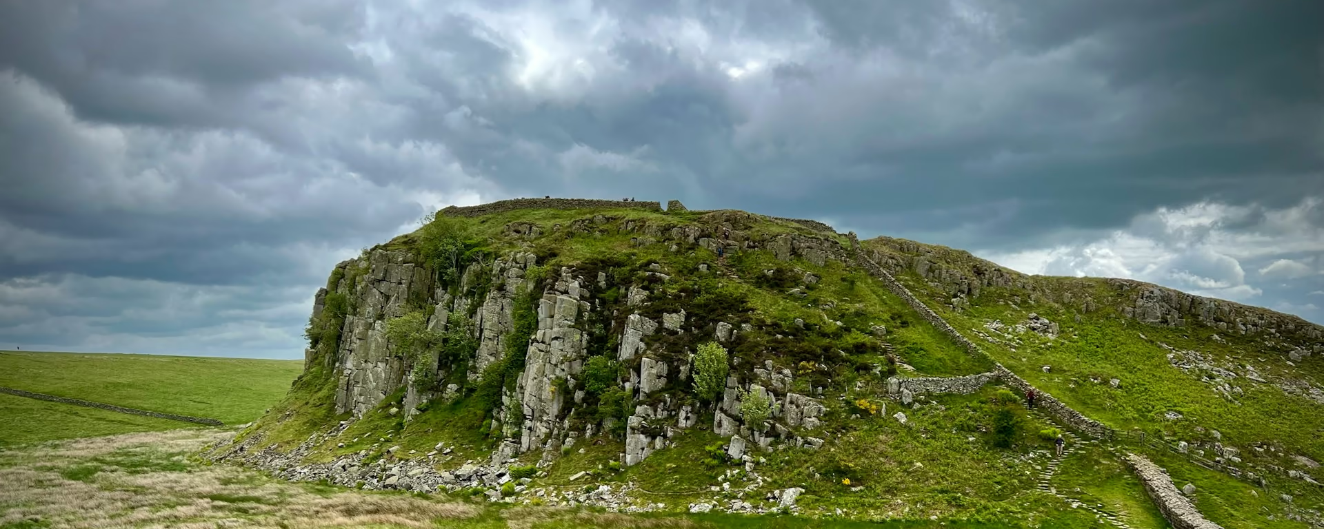
Forest track beside the loch. It is the first section that leaves the towpath, and the ground is rougher than the canal you have just walked.
-
Until about 2030
The Coire Glas diversion
A hydro scheme has moved the path. The trail body's stage page says the diversion adds 600 m and stays in place until about 2030.
-
The road at South Laggan
Laggan Locks ends the stage. The night is on the A road next to them: 60 mph, no footpath, and few beds. The shop is in Invergarry, 4 miles (6.4 km) off this line.
-
End of section
Laggan Locks
Section 2: Gairlochy to Laggan Locks overview
The ground
- Forest track
- Loch shore
- Diversion
Forest track beside the loch. The diversion is the current notice. Rougher underfoot than the canal, and easier than the climbs after Fort Augustus. The 4-day and the 3-day join this track to the towpath and walk both in one day.
Stops
Refreshments
- No shop at Gairlochy or at the locks. Invergarry
- 4 miles (6.4 km) further on
- has a small shop and is not on this line
Toilets
- No source used for this section names a public toilet
Before you go
Opposite direction
Laggan Locks to Gairlochy
Leave the locks and take the forest track back along Loch Lochy, diversion included. Gairlochy is the finish, and the canal is the next section if you are walking toward Fort William.
End of section
Gairlochy
Gairlochy to Laggan Locks FAQ
How long is Gairlochy to Laggan Locks?
The trail body's stage page lists 12.8 miles (20.7 km), and says the Coire Glas diversion adds 600 m until about 2030. The distance at the top of this page is measured on our line between these ends.
Where is the shop?
Not at the locks. Invergarry has a post office and a small shop, 4 miles (6.4 km) further on by forest track and minor road. This section does not go there. South Laggan is the night, and it is thin.
Walk this as a day
Day 2 on the 6-day walks this track after the night at Spean Bridge. Open the planner on that preset, then export a full-trip or per-day GPX.
Open in planner Read the 6-day itinerary
Full-trip and per-day GPX files. Free, no account.
Explore