- On trail 15.5 mi 24.9 km
- Walking time 7–8 h
- Ascent 1,060 m 3,500 ft
- Descent 1,160 m 3,800 ft
- Difficulty Moderate
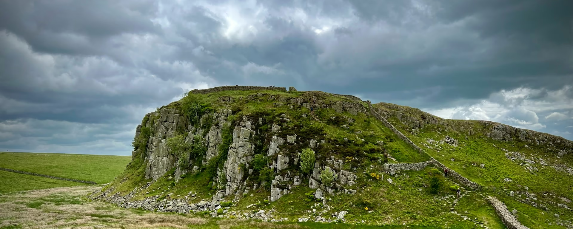
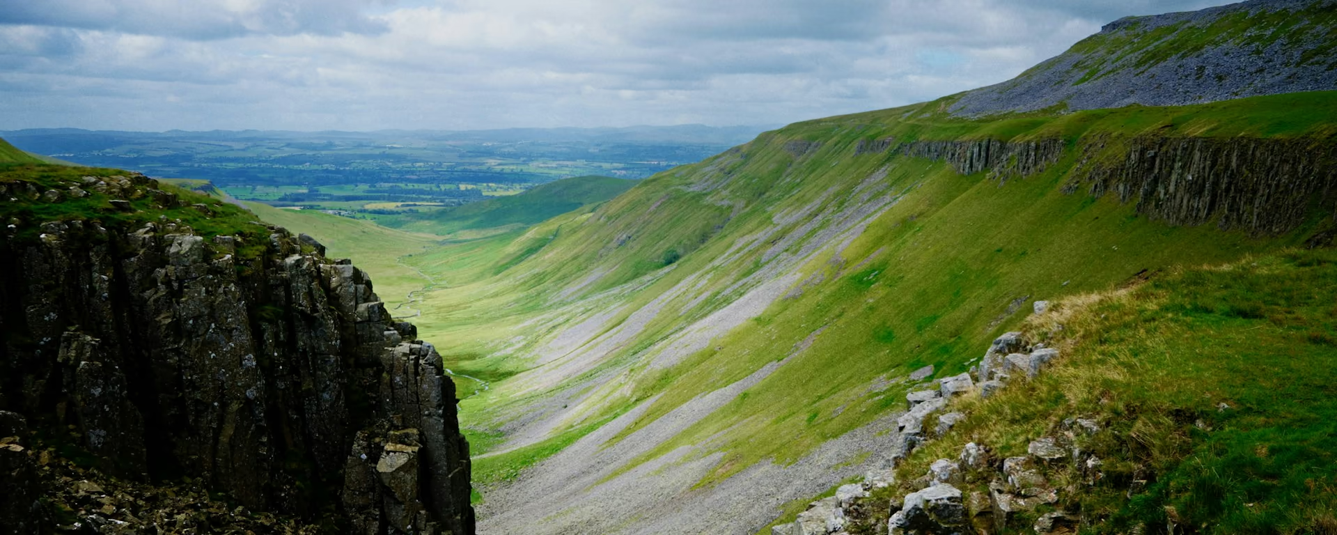
The longer side of Loch Ness, with the View-Catcher on the high route.
Section 5: Invermoriston to Drumnadrochit map
Example stay Loch Ness Drumnadrochit Hotel (opens in a new tab)
Cross-check: official stage page . Opened 19 October 2026. The distance at the top of this page is measured between these ends. The climb comes from the track file, which runs higher than the published totals for the glen.
The walk
Another choice above the loch, and a longer one. The high route reaches 420 m, the second highest point on the Way, and passes the View-Catcher. Halfway along, a path drops to beds at Altsigh if the day is going wrong. Into Drumnadrochit, a new path has replaced almost all of the old road. One short stretch is still on the public road. The village has shops.
-
Start of section
Invermoriston
-
The View-Catcher
On the high route, which reaches 420 m, the second highest point on the Way. The low route stays in the trees and misses it.
-
Leave the path
Altsigh
Halfway along the high route, a path drops to beds at Altsigh. It is the escape if the section is too much, not a night on these plans.
-
The new path
Into Drumnadrochit, a newly built path has replaced almost all of the old road. A short stretch is still on the public road.
-
End of section
Drumnadrochit
Section 5: Invermoriston to Drumnadrochit overview
The ground
- High route
- View-Catcher
- New path
The longer Loch Ness section. High route or forest, then the new path. Longer than the climb out of Fort Augustus, and shorter than the last section into Inverness. The 3-day attaches this ground to Loch Oich and that climb, and walks all three as the middle day.
Stops
Refreshments
- A path halfway along the high route drops to beds at Altsigh. Drumnadrochit has shops
Toilets
- No source used for this section names a public toilet
Before you go
Opposite direction
Drumnadrochit to Invermoriston
The new path out of Drumnadrochit comes first, with that short stretch still on the public road. Then you climb, so 420 m is a pull rather than a descent. The View-Catcher sits near Invermoriston, at the end.
End of section
Invermoriston
Invermoriston to Drumnadrochit FAQ
How long is Invermoriston to Drumnadrochit?
The trail body's stage page lists 13.7 miles (22 km) on the low route and 13.3 miles (21.4 km) on the high route. The high route is the shorter of the two here. The distance at the top of this page is our line between the villages.
Is the road into Drumnadrochit still there?
Almost gone. A new path has replaced nearly all of the old road section. One short stretch is still on the public road, which the stage page says to expect.
Walk this as a day
Used as Day 5 on the 6-day. Open the planner on that preset, then export a full-trip or per-day GPX.
Open in planner Read the 6-day itinerary
Full-trip and per-day GPX files. Free, no account.
Explore