- On trail 10.5 mi 16.8 km
- Walking time 4–5 h
- Ascent 80 m 250 ft
- Descent 60 m 200 ft
- Difficulty Easy
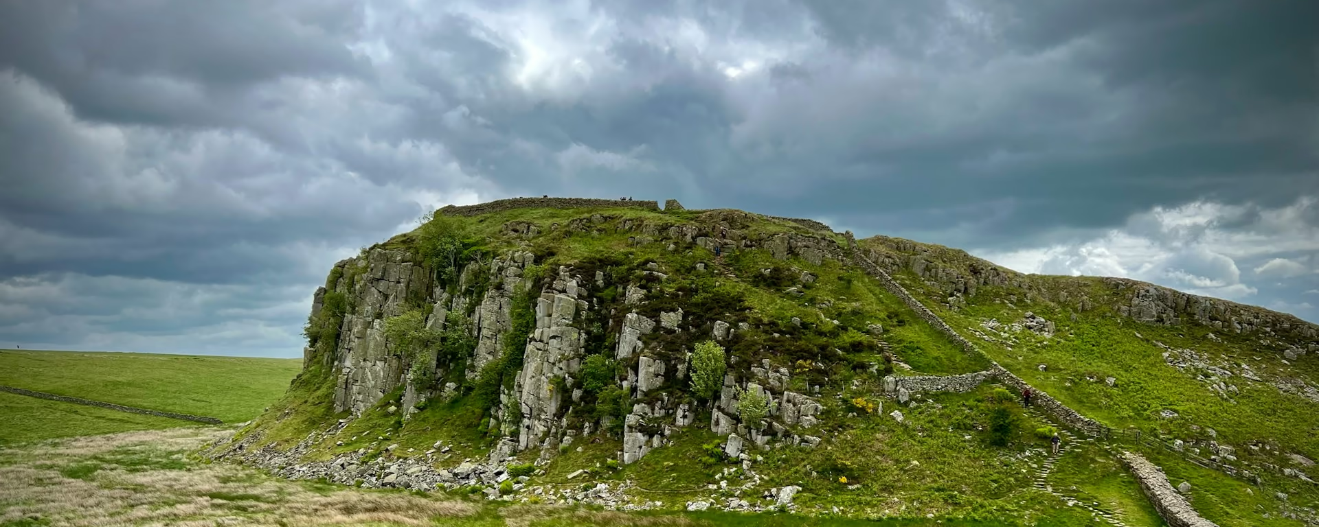
Neptune's Staircase and the canal, with Ben Nevis over the start.
Section 1: Fort William to Gairlochy map
Cross-check: official stage page . Opened 19 October 2026. The distance at the top of this page is measured between these ends. The climb comes from the track file, which runs higher than the published totals for the glen.
The walk
You leave Fort William in the shadow of Ben Nevis and take the Caledonian Canal. Neptune's Staircase is the flight of locks near the start, and the view from it is the mountain. After that the towpath is waymarked, out to Gairlochy. The hamlet has few beds and no shop. The stage page says most walkers still spend the night there. Many use Spean Bridge instead, 4.5 miles (7.2 km) off the Way, and some beds there will collect you by car.
-
Official start
Fort William
-
Neptune's Staircase
The flight of locks on the Caledonian Canal, with the view back to Ben Nevis. It is the picture of the opening, and then the towpath settles down.
-
Ben Nevis
The Way starts in the shadow of Britain's highest mountain. You are under it at Fort William, and it stays in sight as you climb the locks.
-
No shop
Gairlochy
Few beds and no shop. The stage page says most walkers still spend the night here. Many use Spean Bridge, 4.5 miles (7.2 km) off the Way, and some of those beds collect by car.
-
End of section
Gairlochy
Section 1: Fort William to Gairlochy overview
The ground
- Towpath
- Canal locks
- Ben Nevis
Canal towpath. The length is the work, not the climb. The steep ground is after Fort Augustus. This is the easy opening. The 4-day and the 3-day walk straight through Gairlochy instead of leaving the Way for Spean Bridge.
Stops
Refreshments
- Fort William at the start. Gairlochy has no shop
Toilets
- No source used for this section names a public toilet
Before you go
Opposite direction
Gairlochy to Fort William
From Gairlochy the towpath runs back down Neptune's Staircase into Fort William. Ben Nevis is ahead as you come into town.
Official finish
Fort William
Fort William to Gairlochy FAQ
How long is Fort William to Gairlochy?
The trail body's stage page lists 10.5 miles (17 km). The distance at the top of this page is measured on our line between these ends, and it does not include the walk off to Spean Bridge.
Can I stay at Gairlochy?
Yes. The stage page says most walkers spend the night at Gairlochy, which has limited beds and no shop. Many stay in Spean Bridge instead, 4.5 miles (7.2 km) away, and some of those beds will collect you by car. The 6-day and the 5-day are the plans that leave the Way for Spean Bridge.
Walk this as a day
Day 1 on the 6-day starts here and leaves the Way for Spean Bridge. Open the planner on that preset, then export a full-trip or per-day GPX.
Open in planner Read the 6-day itinerary
Full-trip and per-day GPX files. Free, no account.
Explore