Section 4 of 4
Thorpe to Rocester
Over the Dove into Staffordshire, through George Eliot's country to a Roman fort.
Route map
Example stay Limestone Way Finish
Cross-check: Visit Peak District route description . Opened 13 November 2026. The council publishes no sections; these four follow the days of our recommended 4-day plan. Distances are measured along the trail.
The walk
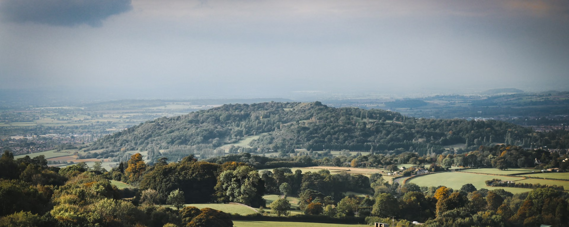
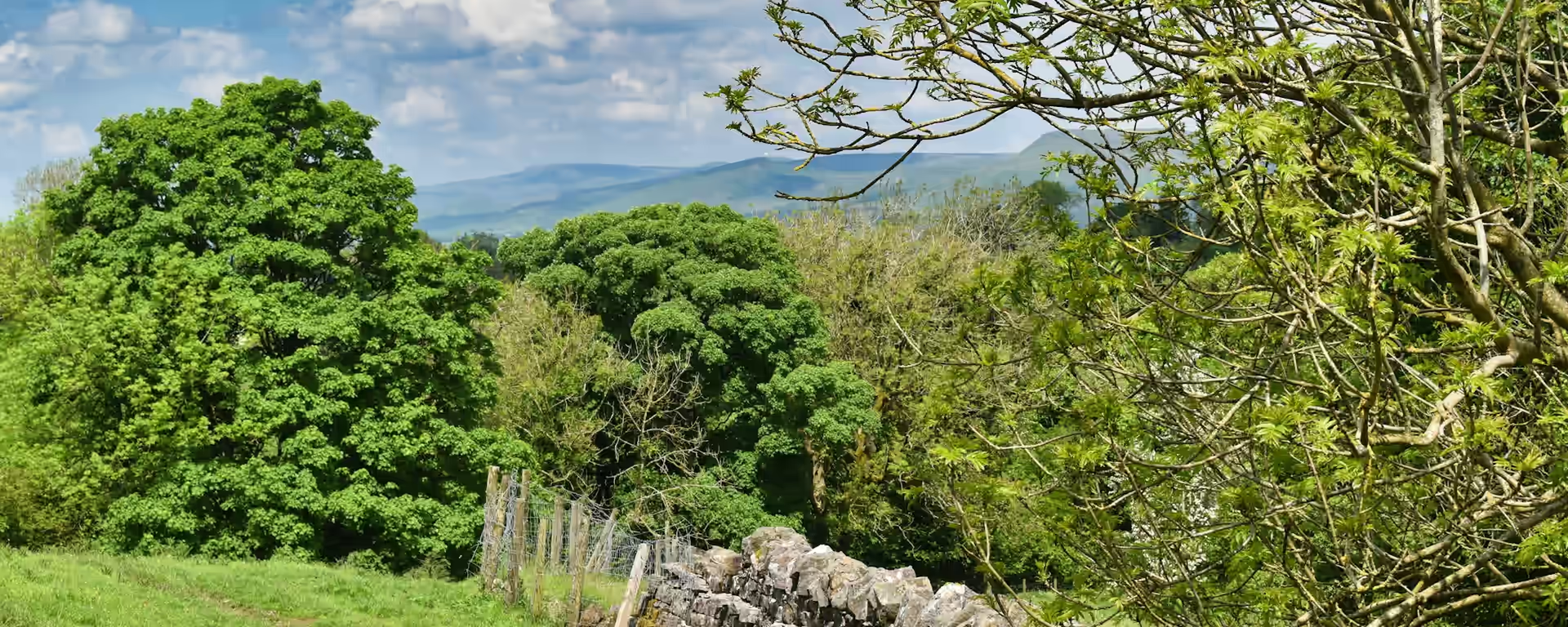
Over the River Dove into Staffordshire, the Limestone Way spends its last miles low among farm fields and woods. Coldwall Bridge carries you across the river, and from there the waymarks thin and stiles hide in overgrown hedges. A ridge path leads on to Ellastone, the Hayslope of George Eliot's Adam Bede, and a riverside path past Doveleys ends the walk in Rocester, on the site of a Roman fort.
-
Start of section
Thorpe
-
County line
Coldwall Bridge
The bridge over the River Dove, where the trail leaves Derbyshire for Staffordshire. From here the path runs through lower, greener farmland.
-
Lunch
Ellastone
George Eliot's father grew up here, and the village became Hayslope in Adam Bede. The Duncombe Arms is a short way off the path.
-
The finish
Rocester
A Roman fort of about AD 69, and a mill Richard Arkwright turned to cotton in 1781. The trail ends on Mill Street, where it meets the Staffordshire Way.
-
Official finish
Rocester
Overview
The ground
- Farmland
- Woods
- Riverside
Lowland fields, woods and lanes. Little climbing, but the waymarks thin out. The shortest and lowest section. Finding the way is the work here, not the climbing.
Stops
Refreshments
- Thorpe (The Old Dog)
- Ellastone (Duncombe Arms)
- Rocester (café
- pub and shops)
Toilets
- Pubs and cafés only (no public toilets found)
Before you go
Opposite direction
Rocester to Thorpe
Walked from Rocester, this is the first day, so you meet the tricky waymarking while you are fresh. Ellastone's pub breaks the morning. Coldwall Bridge takes you back into Derbyshire, and a short climb from the Dove brings you up to Thorpe.
End of section
Thorpe
Thorpe to Rocester FAQ
How do I get home from Rocester?
Rocester has no station. Buses run to Uttoxeter, which has trains, and to Ashbourne and Derby. Check times before you travel, or book a taxi to Uttoxeter.
Is the waymarking really that thin?
In places. Walkers have found stiles hidden in overgrown hedges and paths that fade across fields, though others found it well signed. Carry the map and you will be fine.
Can I download a GPX for Thorpe to Rocester?
Yes. Use the GPX button at the top of this page. It is this section's line, for Garmin, Komoot, or your phone. Open the planner if you want a file built around your overnight stops.
Walk this as a day
Used as Day 4 on the 4-day. Open the planner on that preset, then export a full-trip or per-day GPX.
Open in planner Read the 4-day itinerary
Full-trip and per-day GPX files. Free, no account.
Explore