Section 1 of 4
Castleton to Monyash
Out from under a Norman castle and onto the White Peak plateau.
Route map
Example stay Sheldon House B&B (opens in a new tab)
Cross-check: Visit Peak District route description . Opened 13 November 2026. The council publishes no sections; these four follow the days of our recommended 4-day plan. Distances are measured along the trail.
The walk
Out of Castleton by Cave Dale, the Limestone Way starts with its roughest mile: polished limestone in a narrow gully under Peveril Castle, a fortress named in Domesday Book. Above it lies Bradwell Moor, the highest ground of the walk. Grassy dry dales lead down to the twin railway viaducts at Miller's Dale, and walled lanes cross the plateau past Flagg to Monyash.
-
Official start
Castleton
-
The start
Cave Dale and Peveril Castle
A narrow limestone gully climbs out of the village under the castle's keep, added by Henry II in about 1174. The rock is polished smooth, so take it slowly when wet.
-
Lunch
Miller's Dale viaducts
Two railway viaducts, from 1866 and 1905, carry the Monsal Trail over the Wye. The café in the old station and the pub below them are the only food of the day.
-
Plateau
Flagg
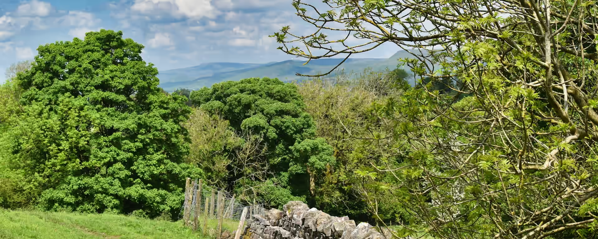
A village street on the high plateau, ringed by drystone field walls that are "some of the best examples in the Peak District landscape".
-
End of section
Monyash
Overview
The ground
- Rocky dale
- Moor
- Walled lanes
A rocky climb onto the moor, then dales, quiet roads and walled lanes. The longest section, with the highest ground and the fewest places to eat. Everything after it is lower and has more villages.
Stops
Refreshments
- Castleton
- Miller's Dale (café and pub)
- Monyash
Toilets
- Monyash (Bakewell side of the village)
Before you go
Opposite direction
Monyash to Castleton
Walked from Monyash, the plateau lanes come first, then a long descent to the river at Miller's Dale. The climb back up through Peter Dale and Hay Dale fills the afternoon, and the day ends on Cave Dale's polished rock, down into Castleton.
Official finish
Castleton
Castleton to Monyash FAQ
Where can I eat between Castleton and Monyash?
Only at Miller's Dale, a little over halfway, where a café in the old station and a pub sit under the viaducts. Check they are open before you set off, and carry lunch in case.
Can I split this section?
Yes. Our 5-day plan stops at Miller's Dale and sleeps at YHA Ravenstor, a steep 1.3 mi (2.1 km) up from the dale, because the cottages in the village let for longer stays.
Can I download a GPX for Castleton to Monyash?
Yes. Use the GPX button at the top of this page. It is this section's line, for Garmin, Komoot, or your phone. Open the planner if you want a file built around your overnight stops.
Walk this as a day
Used as Day 1 on the 4-day. Open the planner on that preset, then export a full-trip or per-day GPX.
Open in planner Read the 4-day itinerary
Full-trip and per-day GPX files. Free, no account.
Explore