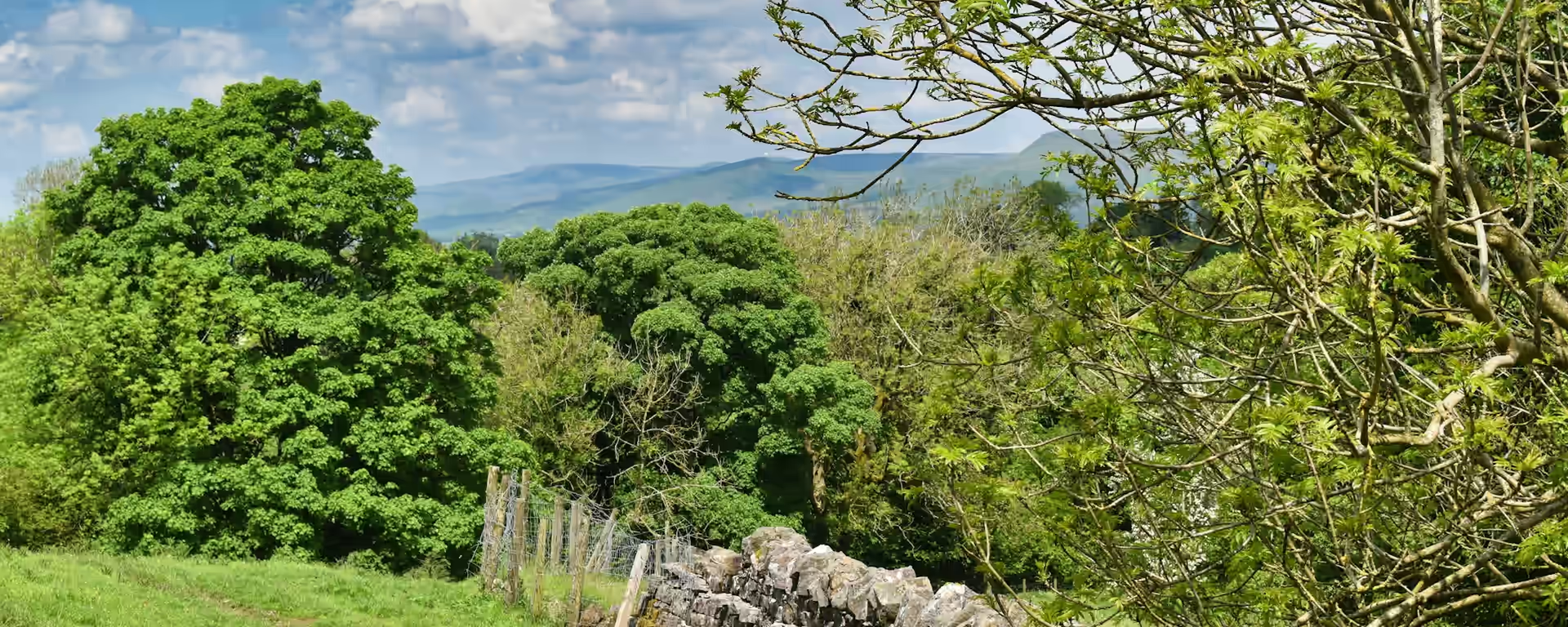
- Distance 46.6 mi 75 km
- Duration 3–5 days
- Ascent 1,800 m 5,900 ft
- Descent 1,910 m 6,250 ft
- Difficulty Moderate
4 official sections, spread across a 3–5-day itinerary.
| Section | Distance | Time | Ascent |
|---|---|---|---|
| Section 1Castleton to MonyashOut from under a Norman castle and onto the White Peak plateau. | 13.9 mi22.4 km | 6–7 h | 590 m1,950 ft |
| Section 2Monyash to BonsallLead villages, a river dale and a gritstone tor with a legend. | 11.7 mi18.9 km | 5–6 h | 470 m1,550 ft |
| Section 3Bonsall to ThorpeFrom lead rakes and quarries to the green estate village of Tissington. | 11.7 mi18.8 km | 5–6 h | 480 m1,550 ft |
| Section 4Thorpe to RocesterOver the Dove into Staffordshire, through George Eliot's country to a Roman fort. | 9.2 mi14.8 km | 4–5 h | 260 m850 ft |
Distances and ascent follow the trail's GPS route. Walking time is a range. A section can take more than one walking day.